
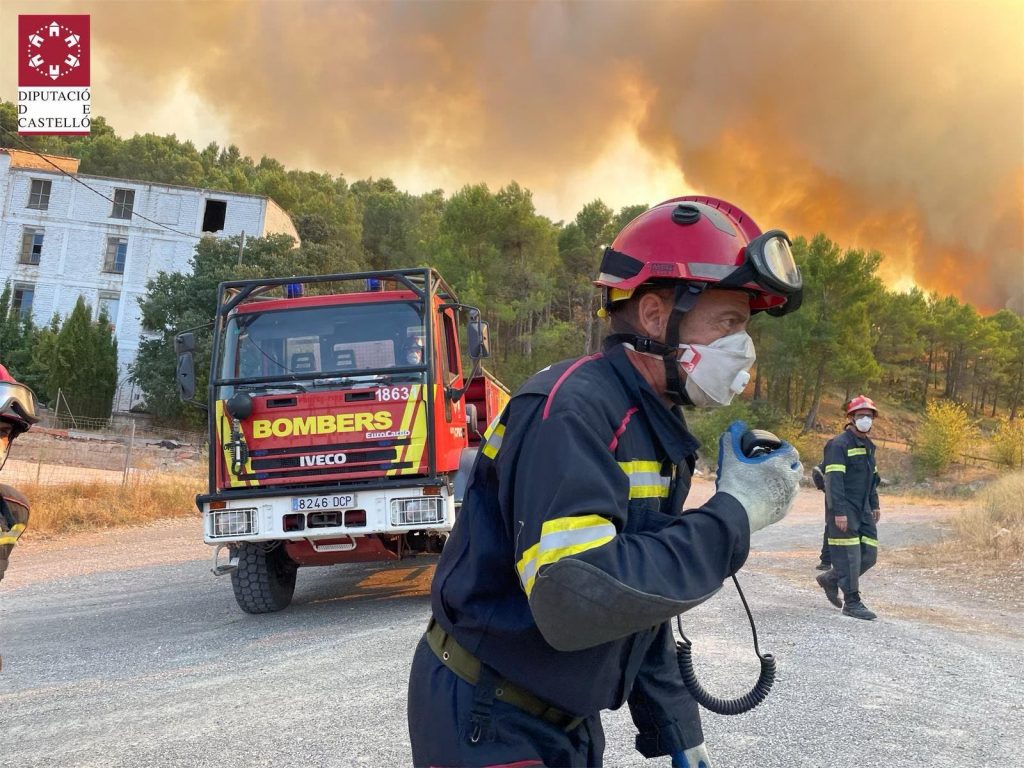

FIREFIGHTERS are continuing to battle to control 12 twelve different wildfires raging across Spain on Friday, as a drop in temperatures brought little reprieve.
It has already been the worst summer on record for fire damage with more than 280,000 hectares destroyed.
A map produced by Nasa using satellite images from space is able to pinpoint in real time the burning areas of Spain.
A fire raging across Castellon and into Valencia province in eastern Spain has burnt through some 19,000 hectares since sparking on August 15.
While nearby in Alicante province, a blaze in the Vall d’Ebo has already destroyed 13,000 since August 13.
In Ourense in the northwestern region of Galicia, firefighters are battling a blaze near the village of Castrelo do Val while in Aragon, more than 9,000 hectares have been ravaged near the town of Borja.
While temperatures have dropped in recent days bringing a reprieve from the heat and much needed rain which has helped dampen the flames, the mercury is set to rise again from Friday.
Spain’s weather agency AEMET forecast a new heatwave with the risk of wildfires extreme in much of the peninsula.